Skip to content
Explore Trimble
placeholder image

Urban Planning

The big picture, at your fingertips

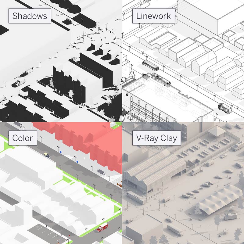
From space planning diagrams to vibrant visuals, SketchUp’s 3D design software helps urban planners model our future cities.

AR/VR city planning

Optimize your workflow

Model efficiently

Model vegetation with a single click, generate photo-realistic renderings, and more with third-party extensions.

Import and export with ease

Import files from standard CAD packages or export model linework and compositions to your favorite post-processing urban design software.

Collaborate better

Tour multiple decision makers through your project in mixed reality and gather real-time feedback using SketchUp’s augmented and virtual reality apps.

Spark new ideas

Gain inspiration and see how others are using SketchUp in their 3D urban planning projects.
3D city planning catalyzes Downtown Oshkosh redevelopment
Customer Story

3D city planning catalyzes Downtown Oshkosh redevelopment

Preserve architectural history with digital twins
Customer Story

Preserve architectural history with digital twins

A ‘green workforce’ collaboration builds in the metaverse and real life
Customer Story

A ‘green workforce’ collaboration builds in the metaverse and real life

Turning a storm runoff site into an urban oasis in Sweden
Customer Story

Turning a storm runoff site into an urban oasis in Sweden

SU2023-Website-Industry-UrbanPlanning-S7

Shape the future with SketchUp.