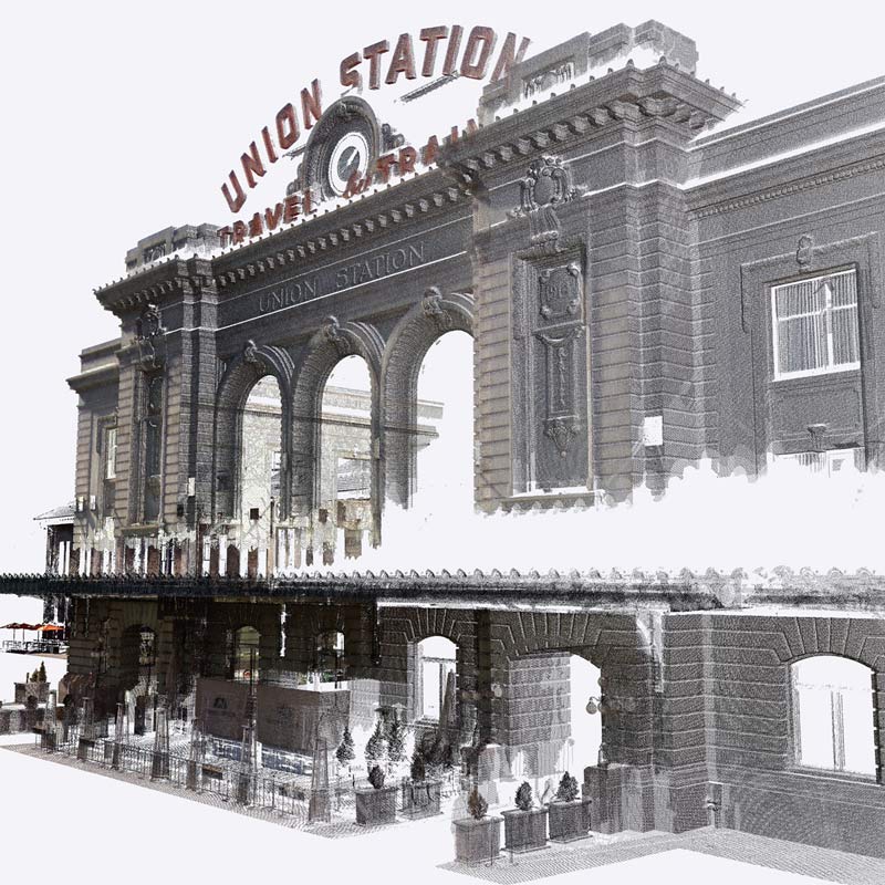
3D scanning perks
Precise 3D modeling
Eliminate guesswork with a more accurate blueprint of your existing job site.
Increase workflow efficiency
Go from as-is scan data to 3D proposal quicker than ever before.
Robust scan data
Turn complex, large scan datasets into a usable 3D model.
Features you'll love
Point cloud import
Import and view point clouds from terrestrial scans, photogrammetry, lidar sensors, mobile mapping, and drone captures.
Interoperability
Pull in point cloud data from a variety of file formats including RWP, LAS/LAZ, TZF, PLY, and E57.
Move & Rotate tool
Easily move your point cloud and align scan data to the 3D model instead of the other way around.
Inspection tool
Ensure the accuracy of your 3D model by easily identifying any missed or inaccurate details.
Visualization Modes
Enhance point cloud visualization with multiple color and blending modes.
Optimization
Maintain high computer and software performance even when working with large amounts of point cloud datasets.

Point Cloud Manager
Adjust point cloud opacity, color, and shape for better visibility while toggling data segments such as vegetation or buildings on or off.

Clipping Box
Isolate and focus on meaningful portions of your 3D scan project without eliminating point cloud data.

Section Cuts & Planes
Showcase multiple scenes and active section planes for precise modeling and presentation.

Direct modeling
Draw and snap directly onto your point cloud using SketchUp’s native toolbox and accurately translate your point cloud into a 3D model. Lock onto a single plane for added modeling precision.
See Scan Essentials in action
Plans & Pricing
SketchUp offers Scan Essentials as part of its Studio subscription, a windows-only offering.
We've got answers
From video tips and formal learning tracks to the user forum, we’re here to help.