Move mountains with your design
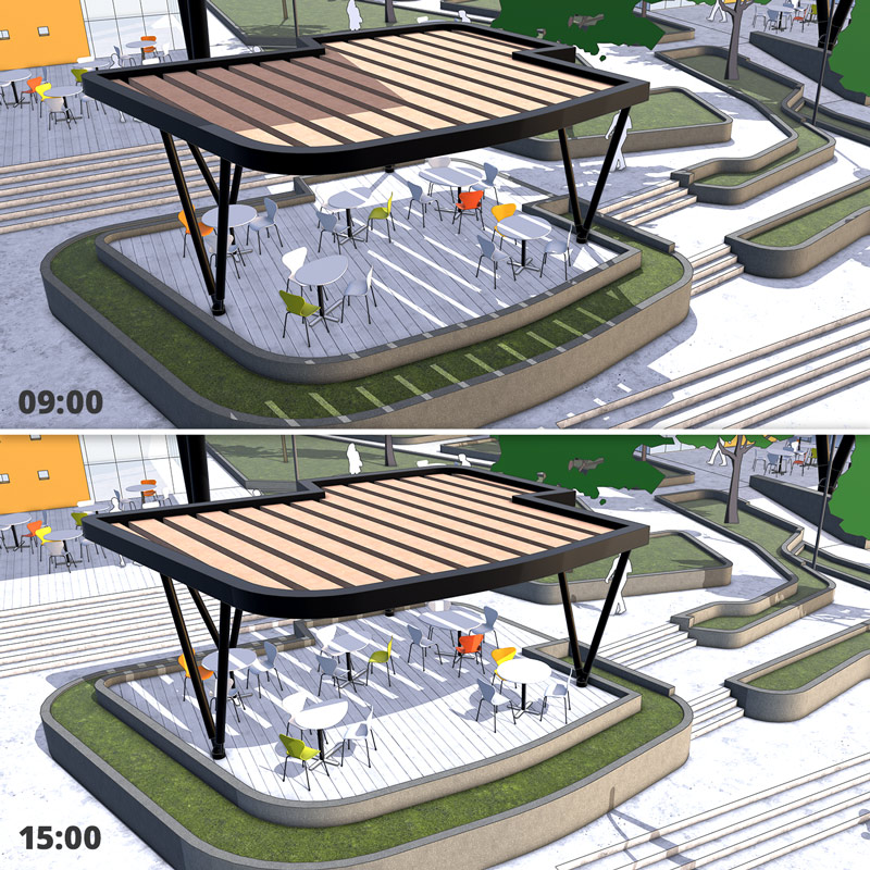
From planters to parks, landscape architects use SketchUp to bring their ideas to life.

Create and modify 3D terrain
Quickly turn contour lines into surfaces, drape hardscape elements onto uneven ground, and modify existing terrain. Start with 2D CAD files, 3D models, DEM data, or import your own imagery and scan data. Better yet, use SketchUp’s Geo-location tool and bring in exact terrain imagery with the click of a button.

Pull entourage objects from 3D Warehouse
You don’t have to model everything you need from scratch. In fact, hundreds of thousands of entourage objects — from vegetation and vehicles, to people — are available for download (for free) from SketchUp’s 3D Warehouse.

Present to impress
Tell a richer story with your model using animations, images, and videos. Create flyovers and walkthroughs that glide clients through your model. Clearly communicate your design vision by exporting high-quality images and videos that show variations and details. Want to impress your clients even more? Put your SketchUp model into a VR/AR headset and watch the “wow’s” roll in.
Find your SketchUp
Your winning toolkit
Geo-location
Specify longitude and latitude and pull in terrain imagery directly into your model with a click of a button.
Real-time shadow studies
See exactly where shadows will fall at any time of day, on any day of the year, anywhere on earth.
Photorealistic rendering extensions
Use one of many third-party solutions to produce jaw-dropping renderings. Reflections and photoreal textures are only an extension away.
Interoperability
SketchUp speaks DWG, DXF, KMZ — and a whole bunch of other 3D file formats — so your workflow is never interrupted.

Small teams delivering big value
With a heavy focus on dense urban environments, LOFTSIXFOUR visualizes and executes unique, immersive rooftop and outdoor amenities for a variety of top-level architects and real estate developers.
